Oct 22, 2026Buying Guides
Airport Anti-Drone System: A Buyer's Guide
How an airport anti-drone system detects, identifies and tracks incursions, plus tender requirements, ATC integration and the legal limits on jamming.
An airport anti-drone system has one job that no other site imposes: detect an intruder early enough that the decision to stop operations is a choice, not a surprise. A drone does not need to reach the runway — entering a final approach path is enough to suspend arrivals, divert aircraft and strand thousands of passengers.
This guide covers what airport-grade detection requires, where engineering ends and legal authority begins, and what to demand from vendors.
Documented Cases
The pattern is consistent across years and regions.
Date | Airport | Outcome |
|---|---|---|
19–21 Dec 2018 | London Gatwick | ~33-hour disruption; ~1,000 flights and ~140,000 passengers affected. Industry-wide economic loss estimated at ~£50 million, borne mainly by airlines. |
22–23 Sep 2025 | Copenhagen (Kastrup) | Operations suspended 20:30–00:45 (~4 hours); around 100 flights cancelled, dozens diverted, ~20,000 passengers affected. |
22–23 Sep 2025 | Oslo (Gardermoen) | Operations suspended roughly 00:00–03:15. |
11 Aug 2026 | Ho Chi Minh City (Tan Son Nhat) | Takeoffs and landings suspended twice between 18:00 and 20:00; Vietnam's air navigation provider VATM reported 73 flights affected, while Xinhua, citing VnExpress, put it above 100. |
The aggregate trend matters more than any single event. The FAA received 1,931 reports of UAS sightings near airports in fiscal year 2025, up about 18% from 1,636 in FY2024, and notes it receives more than 100 such reports each month. In Germany, the Federal Aviation Office recorded 226 reported drone incidents in 2025; the German Aerospace Center (DLR) identified 116 disruptive events across 25 airports, with minimum economic damage of about €60 million, rising to €160 million once network effects are counted.
Why Airports Differ From Other Sites
- The defended area is not the fence line. Approach corridors extend kilometers beyond the perimeter. Detection that stops at the boundary answers the wrong question.
- The threat sits outside the certification basis. A drone ingested into an engine or striking a windscreen is not a scenario commercial aircraft are certified against; the residual risk must be managed operationally.
- Response options are constrained. Blanket jamming near a runway can interfere with aviation navigation and communications, and interception creates falling-debris risk over populated areas. Neither is a decision an airport can take unilaterally.
- False alarms have an operational price. An airport cannot suspend departures every time radar sees a bird. The false-alarm budget is a specification, not a footnote.
The EU COURAGEOUS evaluation framework, published in Remote Sensing (2024), treats the airport as one of its ten standard counter-UAS usage scenarios — a useful reminder that airport defense is a recognised category with its own test criteria, not a generic perimeter job.
What an Airport Anti-Drone System Must Do
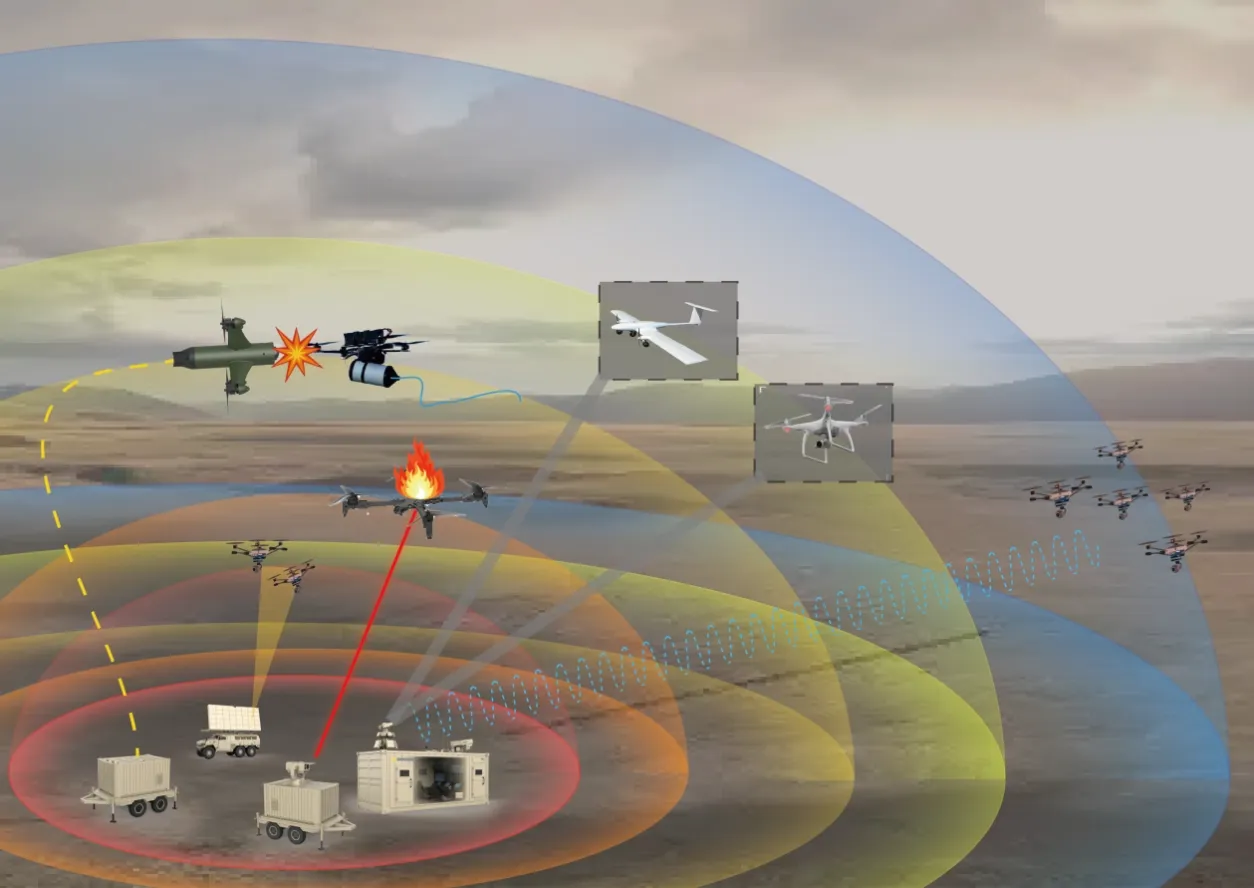
Airport counter-UAS (C-UAS) is layered, and no single sensor is sufficient. For the wider architecture, see how the anti-drone system works together.
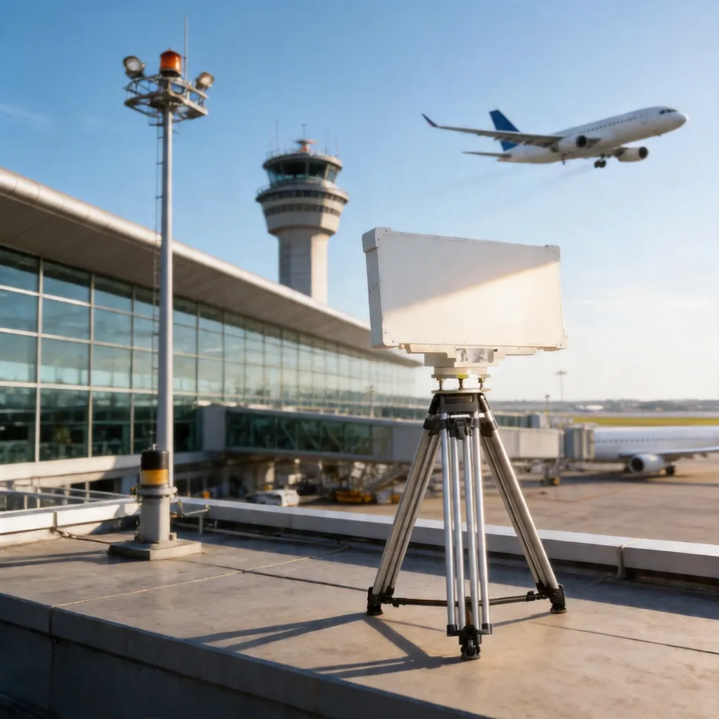
Detection — where is it? X-band radar provides all-weather coverage of the airspace and approach corridors, with altitude and velocity, largely unaffected by darkness and far less affected by weather than optical sensors, though heavy rain and clutter still degrade performance. This layer buys decision time.
Identification — what is it, and who is flying it? RF spectrum detection reads control and video links, can identify many common drone models, and through multi-station time-difference-of-arrival (TDOA) positioning locates the controller. EO/IR cameras add visual confirmation and evidentiary recording. RF is blind to pre-programmed or fiber-optic drones with no radio link, which is why radar remains the primary detection layer.
Handoff — who acts on it? The airport passes a verified track, operator location and evidence package to the authority that holds the mitigation mandate, coordinated with air traffic control. This layer is procedural rather than technical, and it is where most projects actually fail.
Keep three numbers separate: detection range, identification range and engagement range. A system with 10 km detection and 1 km effect is not over-specified — it is buying warning time. Tenders that collapse them into one "range" figure can produce systems that cannot do the job.
What to Put in the Tender
Four requirements are airport-specific. For radar specification detail, see our drone detection radar buyer's guide.
- Range stated against a radar cross-section. ">8 km at 0.01 m²" means something; "10 km" alone does not. Require the assumption in writing.
- A false-alarm budget with field data. Ask for measured false-alarm rates in a comparable environment and how tracks are classified. If the vendor will not provide field data under NDA, that is your answer.
- Operator-location accuracy, not just drone location. Single-station direction finding and multi-station TDOA give very different results — ask which is quoted, and what station count and spacing it requires.
- Documented integration and evidence handling. "UDP output" is a transport, not an interface: require the message schema, ICD, latency, time reference and cybersecurity provisions, plus recording and export suitable for investigation. Ask how tracks reach ATC without adding controller workload.
If you would rather benchmark a draft specification than start from scratch, send it to us and we will mark it against these four points.
The Legal Question That Decides Deliverability
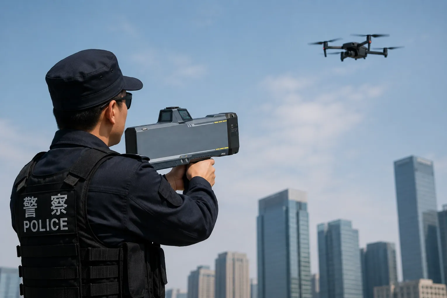
In many jurisdictions, radio jamming and kinetic interception are generally reserved to state authorities — military, police or a designated security service — and are not powers an airport operator can exercise on its own. Rules vary: some countries permit designated airport security units to operate mitigation equipment under licence, while others prohibit civilian operation entirely. Confirm the position in your jurisdiction before tendering.
Airports that buy mitigation hardware without a written legal basis and an inter-agency protocol can end up with equipment they cannot switch on. The workable pattern is a division of labour: the airport operates detection, identification and tracking, then hands a verified track to the authority holding the mitigation mandate. Operator location and evidence quality are what make that handoff actionable.
Before tendering, confirm in writing:
- which agency or agencies hold the mitigation authority;
- the spectrum and aviation-coordination requirements for any RF-based system;
- who bears liability for a diversion or closure decision based on your system's output;
- data protection and retention rules for EO/IR footage and operator-location data;
- the vendor's export-control status and end-user requirements.
Build the Detection Layer
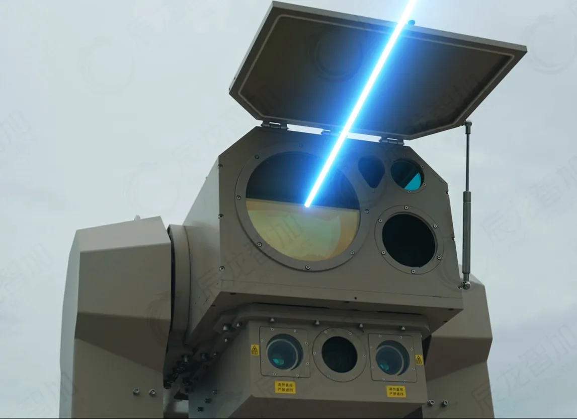
Chenlong supplies the sensor layer an airport detection architecture is built from: X-band drone detection radar with 360° azimuth and 0–30° elevation coverage, RF spectrum detection with multi-station TDOA operator location, and electro-optical tracking cameras. We supply components; system integration and site certification remain with your appointed integrator.
Send a draft tender or a rough site plan and our engineers will return a preliminary, desk-based coverage estimate and the inputs still needed. No obligation; NDA available on request.
All Chenlong international sales are conducted in accordance with applicable Chinese and destination-country export control regulations, and supplied only to vetted, eligible buyers. Export licenses and end-user/end-use certificates may be required. Legal statements above are general guidance, not legal advice.
Sources: [1] FAA UAS Sightings Report, quarterly tables (updated Oct 2026). [2] DLR analysis of German Federal Aviation Office data, 2025. [3] Aviation24.be and Reuters reporting, 23 Sep 2025. [4] Xinhua, citing VnExpress, and VATM statements, Aug 2026. [5] Brewczyński et al., "Methods for Assessing the Effectiveness of Modern Counter Unmanned Aircraft Systems," Remote Sensing 2024, 16(19), 3714. [6] Journal of Transportation Security (2020), Gatwick 2018 case study (secondary source for traffic and loss figures).